Profile
Park Overview
Welcome to Oregon’s longest linear park. The 100-mile trail is built on the old railbed of the Oregon, California and Eastern Railroad (OC&E). Open all seasons to non-motorized recreation, the trail begins in the heart of Klamath Falls and extends east to Bly and north to the lush Sycan Marsh.
The trail is continuous and offers various sections for recreational activity. See our trail guide below for more information and a detailed map.
The Urban Section: Klamath Falls to Olene
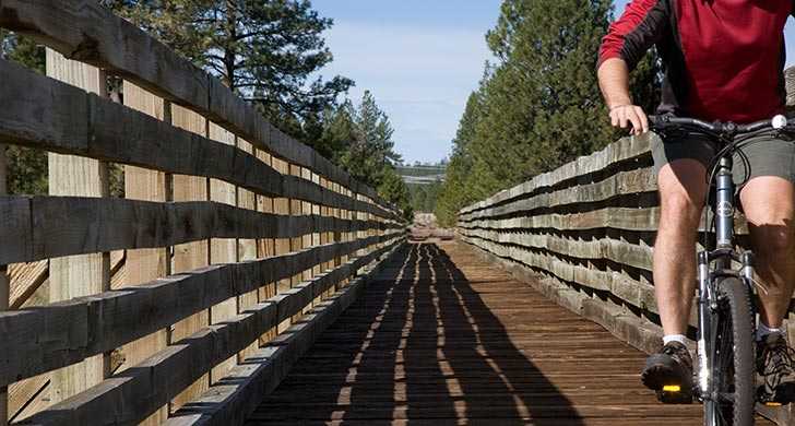
This paved section of the trail is typically bustling with joggers, walkers, in-line skaters and bicyclists. Mt. Shasta rises to the south as the trail passes through farmland on its way to the tiny community of Olene. Approaching Olene, notice Olene Gap, a naturally-formed narrow opening in the mountains that allows just enough space for the trail, Highway 140 and the Lost River to course through.
- 7.6 paved miles
- Toilets available at Reeder Road and Wiard Park
Gateway Section: Olene to Sprague River
This graveled section travels through Olene Gap and north through juniper and sagebrush before swinging east at Swede's Cut, a portion of track that was cut through high ground in order to maintain a gentle grade. The section is named for the Swedish workers who used star drills and black powder to move more than 10 feet of boulders and hardpan soil. Continuing east, the trail skirt the town of Dairy, named for the Dutch dairymen who first settled there.
- 31 miles on gravel
- Toilets at Switchbacks Trailhead
Sprague River Section: Sprague River to Bly
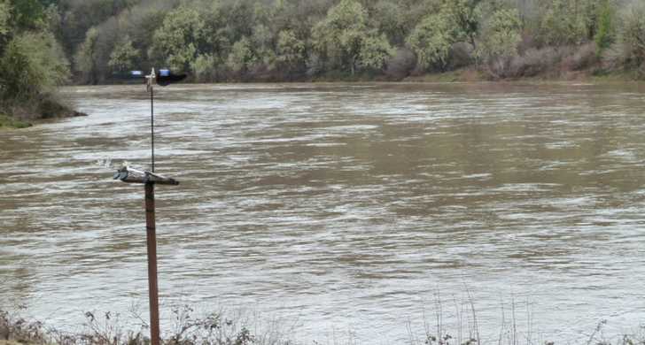
As the trail descends into the Sprague River Valley, it traverses timber and ranch lands and passes the Sprague River. This scenic section is rich in wildlife and waterfowl. Agricultural activities abound in this fertile valley, and trail users may encounter livestock. The main trail consisting of rough, loose rock and grass, continues east to the end of the line at the quiet town of Bly, once a booming mill town.
- 24 miles on loose rock
- Flush toilet at Bly Trailhead
Woods Line Section: Woods Line Spur to Sycan Marsh
The spur trail splits off and heads north in Beatty. This rough section passes from open farmland to thick woods, then crisscrosses over Five Mile Creek at mile 10.
- 33 miles on loose rock
- Toilets at Horse Glade Trailhead
If you are planning an adventure on the trail, please call for the most up to date conditions at 541-783-2471. Please bring plenty of water — there is no drinking water available on the OC&E trail.
Map
Sorry, no records were found. Please adjust your search criteria and try again.
Sorry, unable to load the Maps API.